stage by stage
Mauvoisin – Chanrion
From Mauvoisin, take the road that leads to the top of the dam, offering a breathtaking view of the lake. Cross the dam to the right bank and continue through a series of tunnels. Along the way, admire the majestic waterfalls. A well-kept path will then lead you to...
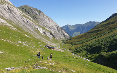
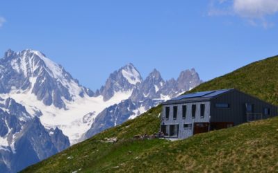
Chanrion – Champillon
The route is somewhat visible from the Chanrion Hut and, going down gently undulating pastures you will reach the Grand Charmotane bridge, then cross it. After a decidedly steep stretch, the slope gets gentler and goes via rocky, grassy areas, then a nice path will...
Champillon – Saint-Rhémy
From the Letey Hut in Champillon, a steep path will lead you to the Champillon Col. The imposing trapeze of Grand Combin rises in the distance while the views encompass the Mont Blanc massif to the W. Start the descent towards the Menouve valley, as far as the...
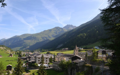
Saint-Rhémy – Frassati
From Saint-Rhémy, you reach the main village of Saint-Léonard, which you cross as far as the church before continuing westwards and passing under the international road. Continuing west, you pass under the covered road back to the Crévacol ski area. The path then...
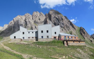
Frassati – Great St. Bernard Pass
From the Frassati refuge, you head north-east to the Col des Ceingles at 2817m before descending into the Comba des Thoules and then climbing briefly to reach the Col de Saint-Rhémy at 2563m. After a few twists and turns downhill, the path joins Praz de Farcoz and the...
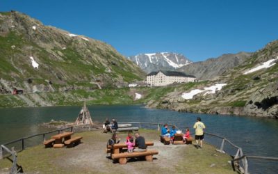
Great St. Bernard Pass – La Fouly
The stage begins at the thousand-year-old hospice, at an altitude of 2470 metres. In the background, the Italian mountains are reflected in the beautiful Lac du Saint Bernard. First you cross the border again and descend to the Baou mountain pasture. From here the...
La Fouly – La Tsissette
The morning hike leads to the Col du Basset... a climb of almost 1,200 metres (or 400 metres less with the chairlift)! From the top of the Arpalle chairlift, follow the ‘Col du Basset’ signs on the left. The path crosses the old Alpage de la Fouly and becomes steep...
La Tsissette – Bourg-St-Pierre
From La Tsissette, you continue northwards to leave the Combe de l'A and reach the village of Drance on the banks of the River Dranse before climbing to Liddes, the main village of the municipality of the same name. The route then heads south into the valley of the...
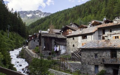
Bourg-St-Pierre – Mille
Bourg-Saint-Pierre is the most important village crossed by the Grand Tour des Combins. Its Saint-Charles (Charlemagne) bridge, ancient bell tower, Roman milestone and well-preserved old houses are well worth a visit before you set off for the heights. Passing by the...
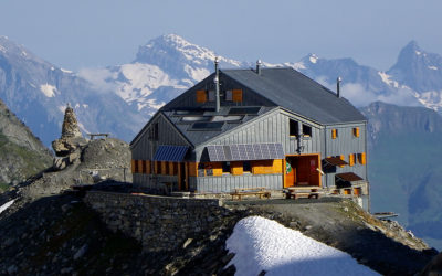
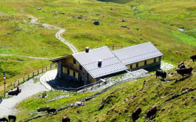
Mille hut – Panossière hut
Passing through the Col de Mille, you will enter the territory of the Bagnes municipality, the largest one in Switzerland (282 km²). The Tour des Combins trail gradually heads NE and then reaches la Treutse after one hour, at an altitude of 2092m. You will enjoy...

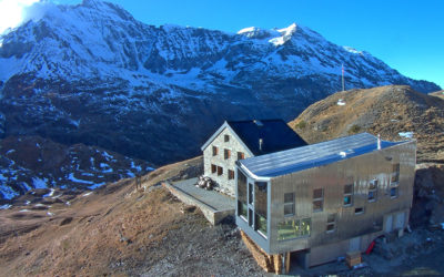
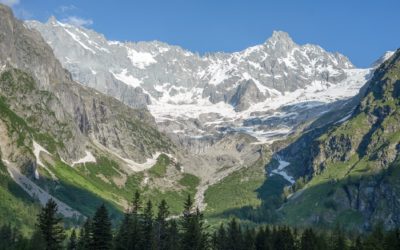
Panossière – Mauvoisin
After skirting the moraine on the right bank of the Corbassière glacier, you begin a short but steep ascent to the Col des Otanes, at 2870m, the highest point of the TDC. It is from here that the panorama is fascinating, in this cirque of rock and ice where the...